
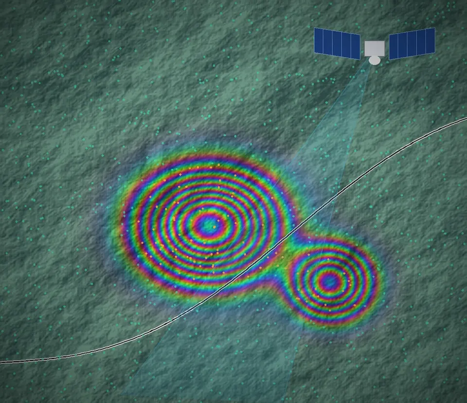
Satellite InSAR
- Millimetre-scale ground and structural movement monitoring
- Historical back-analysis from archived satellite data
- Corridor-wide movement assessment
Digital engineering & technology
Applied by engineers, to the assets we plan, design and review — so owners see change early and act on engineering advice, not raw data.
How it fits
Monitoring data is only useful when an engineer can say what it means. Every workflow ends with assessment, inspection and, where needed, remediation designed by our engineers.
Monitoring
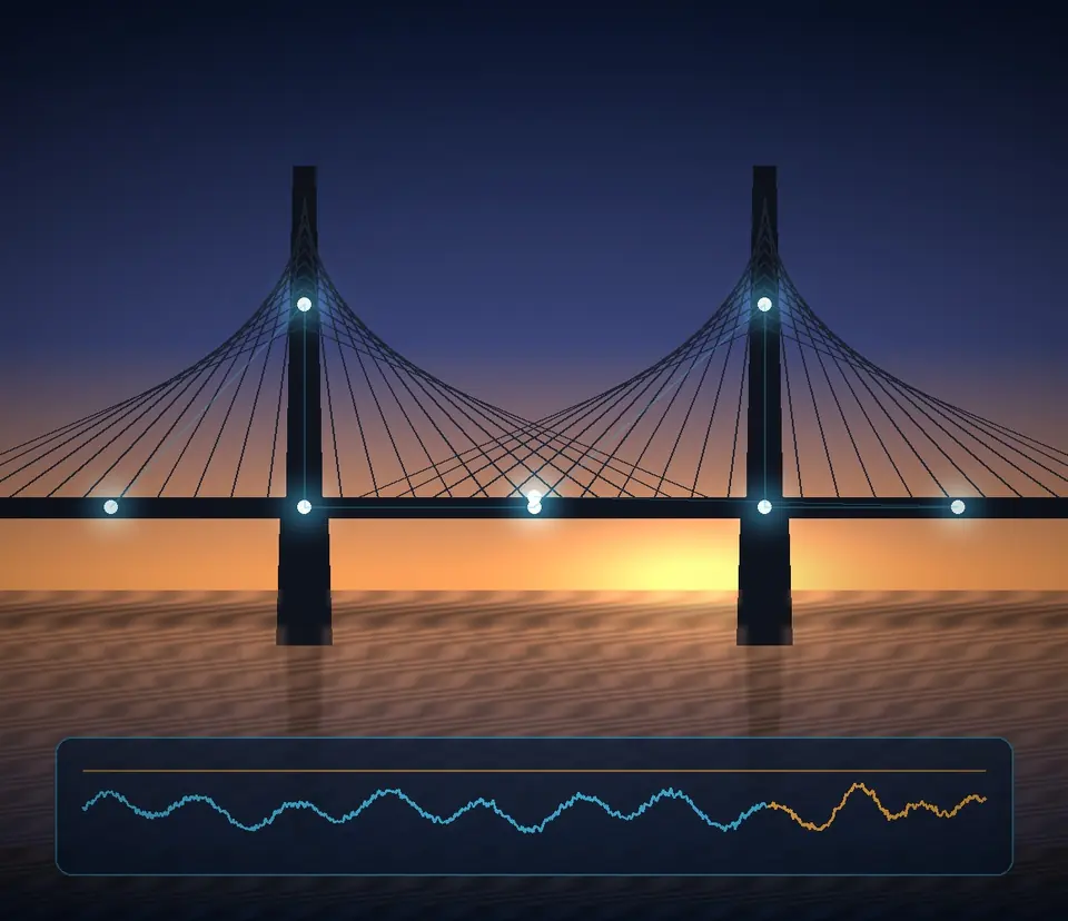
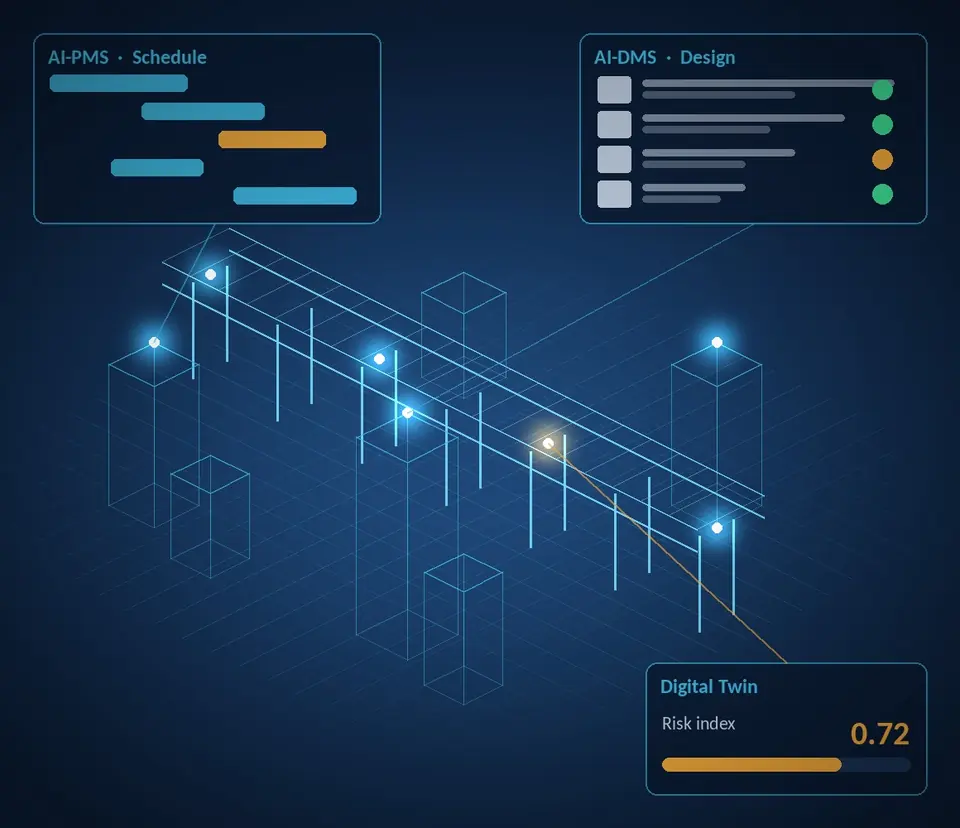
Project & asset intelligence
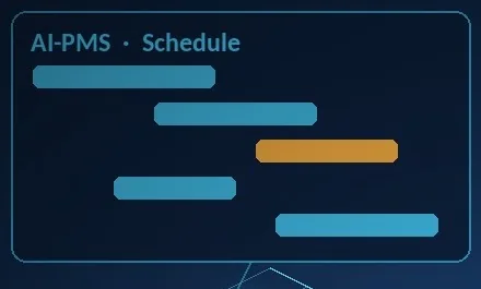
The scope and availability of each solution are confirmed for every engagement. Outputs from AI tools are reviewed by our engineers before they inform any engineering decision.
Where it applies
Digital capabilities extend the later stages of our engagement: detailed design, design review, construction support and operation.
| Situation | Useful tools |
|---|---|
| Tunnelling under buildings and utilities | InSAR, SHM settlement sensing |
| Long-span and seismic-zone bridges | SHM, Digital Twin |
| Hill roads and landslide-prone slopes | InSAR, Digital Twin |
| Dams, reservoirs and flood exposure | InSAR, dam & flood Digital Twin |
| Large projects with many contracts | AI-PMS, AI-DMS |
| Airports, ports, mines, power and strategic sites | InSAR, SHM |
Tell us about the asset and the stage it is at — feasibility, DPR, design review, construction support or monitoring. We will set up a scoping discussion with the right engineers.