
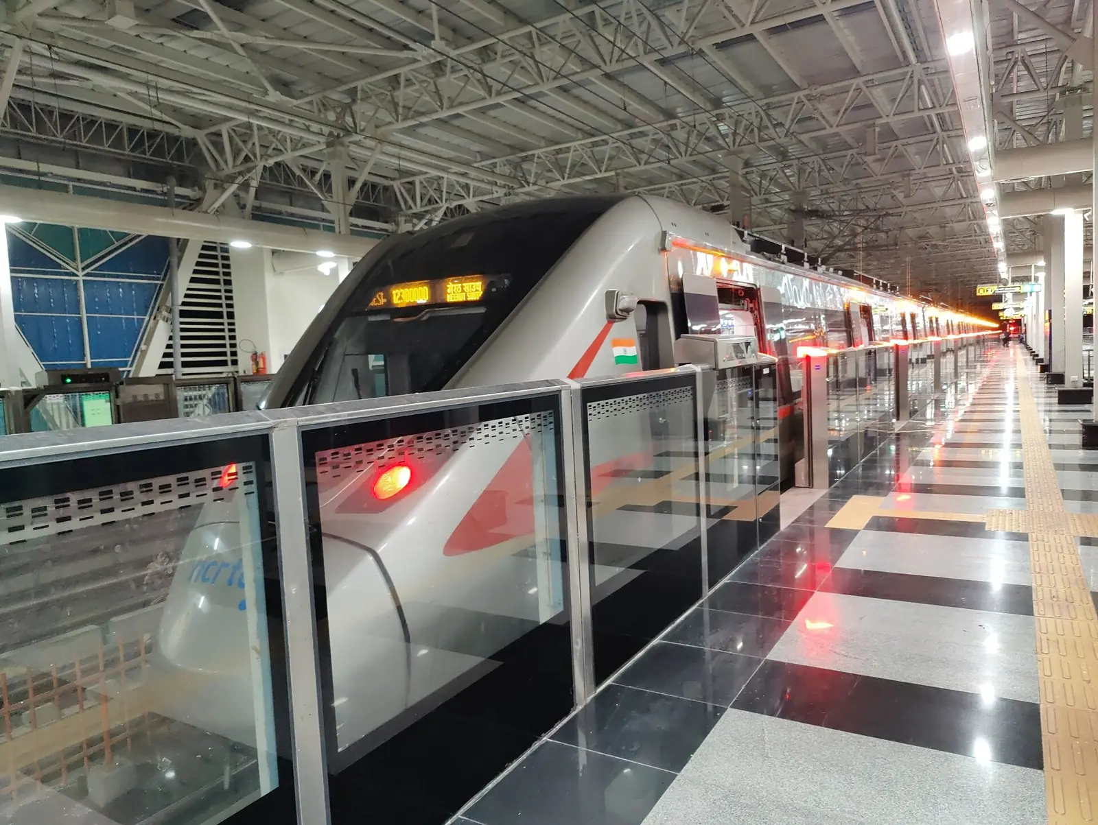
Delhi–Alwar & Delhi–Panipat RRTS
Regional Rapid Transit corridors at semi-high speed across the National Capital Region.
Photo: Ravi Dwivedi · CC BY-SA 4.0
Prior-role experience. The projects and credentials presented represent the professional experience of Devstrat's leadership in previous roles. They are not represented as projects executed by Devstrat Private Limited.
Overview
The Regional Rapid Transit System links Delhi with surrounding cities at semi-high speed. The Delhi–Alwar and Delhi–Panipat corridors together cover about 210 km.
Prof. (Dr.) H. R. Yadav was Technical Head – Planning, Design and Execution at NCRTC for these two corridors.
Engineering challenges
- Planning semi-high-speed alignments through growing urban areas
- Long underground sections, ~47 km in total
- Integrating with existing rail, metro and road networks
Photo gallery
Delhi–Alwar & Delhi–Panipat RRTS in pictures
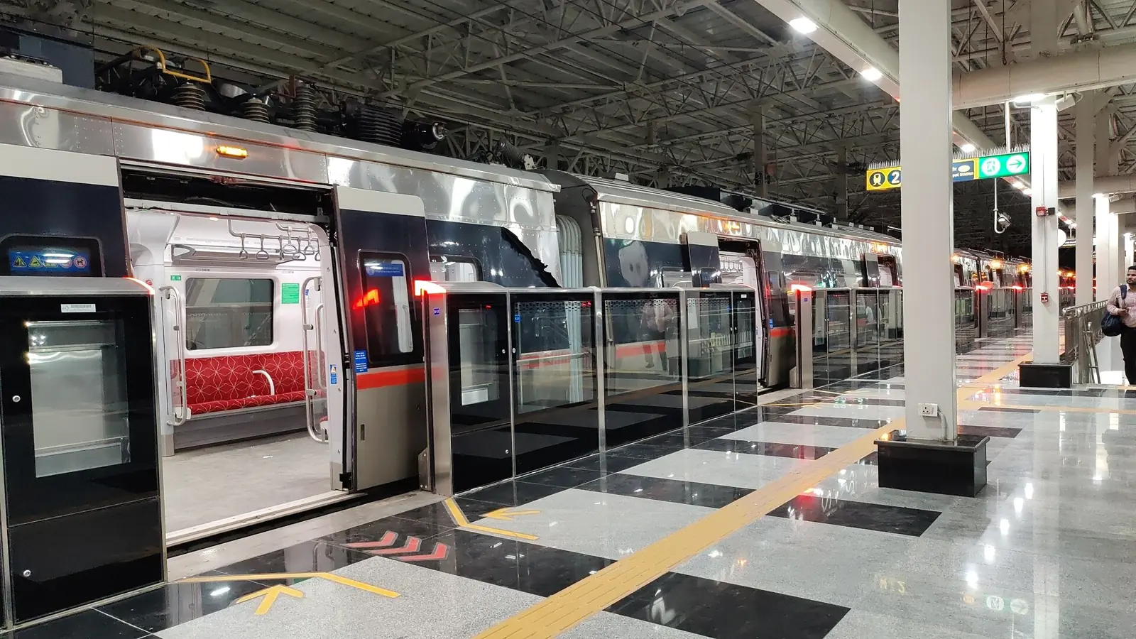
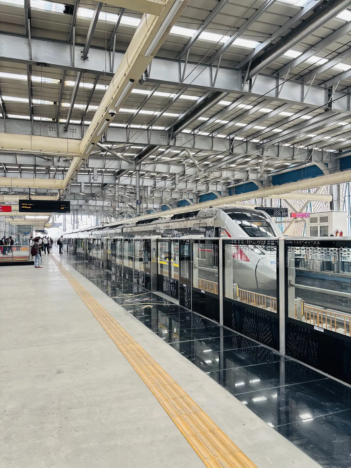
Photos show Namo Bharat trains on the operating Delhi–Meerut RRTS corridor, to illustrate the RRTS system; they are not of the Delhi–Alwar or Delhi–Panipat corridors.
Photos are openly licensed images from Wikimedia Commons, used under the licence shown with each photo. They are not Devstrat's own photographs. All photo credits
Related experience
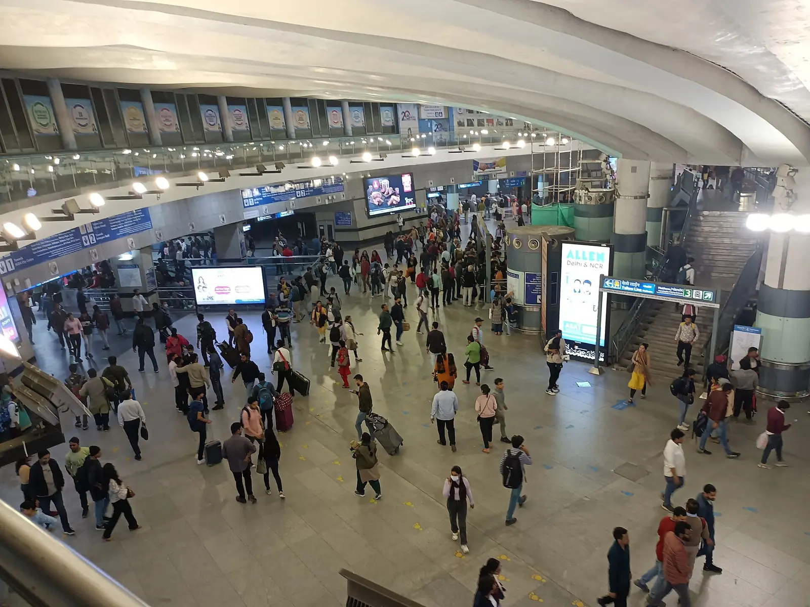
Delhi Metro Phase I, Line 2 (underground)
- ~11 km · Underground length
- 10 · Underground stations, plus depot
- 8–9 months · Commissioned ahead of schedule
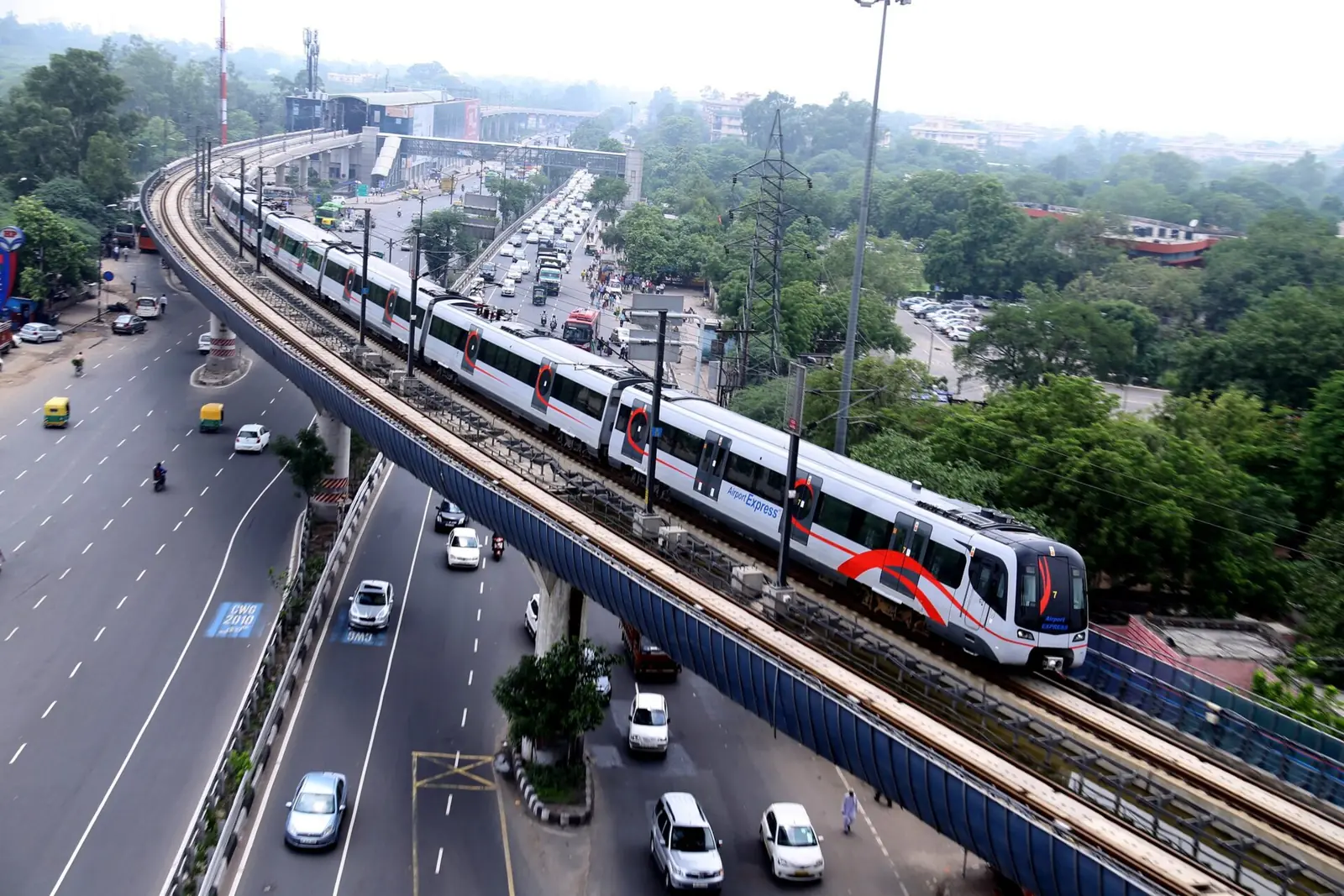
Delhi Airport Express Line
- ~11 km · Bored, NATM and cut-and-cover tunnels
- 4 · Underground stations
- ₹1,480 Cr+ · Underground works supervised

Mumbai–Ahmedabad High-Speed Rail
- ~21 km · BKC–Shilphata tunnel section
- ~7 km · Beneath Thane Creek
- 13.6 m · TBM cutterhead diameter
Discuss your infrastructure project
Tell us about the asset and the stage it is at — feasibility, DPR, design review, construction support or monitoring. We will set up a scoping discussion with the right engineers.